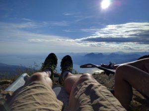
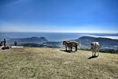
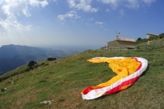
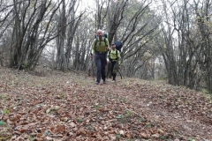
The south east shore of the Garda lake is a great place to hike & fly. In the map below are shown some suggested itineraries, but the area is a vast playground with dramatic views of the lake and of the Baldo mountain range. The itineraries listed vary form the relaxing 50 minutes hike at the local take off to the full day hike (up) and fly (down) to an alpine hut on top of the Monte Baldo ridge.
[ngg_images source=”galleries” container_ids=”2,3″ display_type=”photocrati-nextgen_basic_thumbnails” override_thumbnail_settings=”0″ thumbnail_width=”240″ thumbnail_height=”160″ thumbnail_crop=”1″ images_per_page=”20″ number_of_columns=”0″ ajax_pagination=”0″ show_all_in_lightbox=”0″ use_imagebrowser_effect=”0″ show_slideshow_link=”1″ slideshow_link_text=”[Mostra slideshow]” order_by=”sortorder” order_direction=”ASC” returns=”included” maximum_entity_count=”500″]
Monte Belpo
On the Monte Belpo (area highlighted in orange on the map) our Club has available a webcam that we suggest to check before departure.
[1] Il Gas – yellow or pink route
Quick hike up and slide down after a long day on the beach. Easy and grassy takeoff await you on the top. The hike starts form Costermano and climb up the mountain in a nice forest. Two options: the yellow route is shorter and steeper, the pink route is slightly longer and easier.
Climb: 480 m
Time: 1h
Best with: south – south-west wind
Closest landing field (to the car): New Gas
[2] David – red route
Nice hike in the forest. The route starts on the road that connects Costermano to Caprino. On the left there is an old unused road where you can leave the car. The route follows a nice path to the small and slightly technical David takeoff.
Climb: 700 m
Time: 1,30 – 2 h
Best with: South, south-east and east.
Closest landing field (to the car): New Gas
Monte Baldo
On the Monte Baldo (area highlighted in blue on the map) our Club has available a webcam and weather station that we suggest to check before departure.
[3] From Prada to Rifugio Fiori del Baldo and Rifugio Chierego – green route

Really nice and rewarding hike from Prada, an abandon ski-town, to the top of the Monte Baldo ridge. You can park the car at the abandoned lift station in Prada and follow the nice path in the forest for the first half an hour. Once reached the tree line, you will have a stunning view of the lake. Takeoffs near one of the two huts that sit 200 m apart on top of the ridge line: Rifugio Fiori del Baldo and Rifugio Chierego.
Close to the park there is a small landing filed on the left side of the way up. Take a look at it on your way up. Please make sure to understand the lake wind effect: the Ora and the Peler!
Climb: 1000 m
Time: 2 – 2.30 hours
Best with: all wind directions from East – South – West
Closest landing field (to the car): B10104 – Prada Atterraggio
[4] From Caprino to the Colonei takeoff and to Rifugio Fiori del Baldo and Rifugio Chierego – violet route
Long and rewarding route that form Caprino climb up to the top of Monte Baldo ridge. Your goal is first the official takeoff Colonei .The route follows a path initially in the forest and, in the second half, above the tree line that provides stunning views of the lake and of the small villages below. For the most fitted the real goal are the two huts sitting 200 meters apart on top of the ridge line: Rifugio Fiori del Baldo and Rifugio Chierego.
Climb: 1200 m to Colonei, 1600 m to Rifugio Chierego
Time: 2 – 2.30 hours up to Colonei. 3 – 4 hours to the Rifugio Chierego and Rifugio Fiori del Baldo
Best with: all wind directions from East – South – West
Closest landing field (to the car): A01027 – Platano Atterraggio
[5] From Braga (Caprino) to the Colonei takeoff and to Rifugio Fiori del Baldo and Rifugio Chierego – blue route
Shorter version of route [4]. You need two different cars. Leave one car in Caprino (on the park in front of the Platano restaurant) and drive with the second car to Braga, a small village north of Caprino that you can reach in 10-15 minutes drive. This itinerary reduce the timing of route [4] by 1 full hour.
Closest landing field from the car: A01027 – Platano Atterraggio
[6] Malga Cola – orange route
Dal centro di Caprino fino a Malga Cola, una malga ristrutturata a ovest del Monte Crocetta. Ideale con venti provenienti da Ovest – Sud/Ovest
Climb: 950 m
Time: 2 – 2.30 hours
Best with: West – South/West
Closest landing field (to the car): A01027 – Platano Atterraggio or GAS


